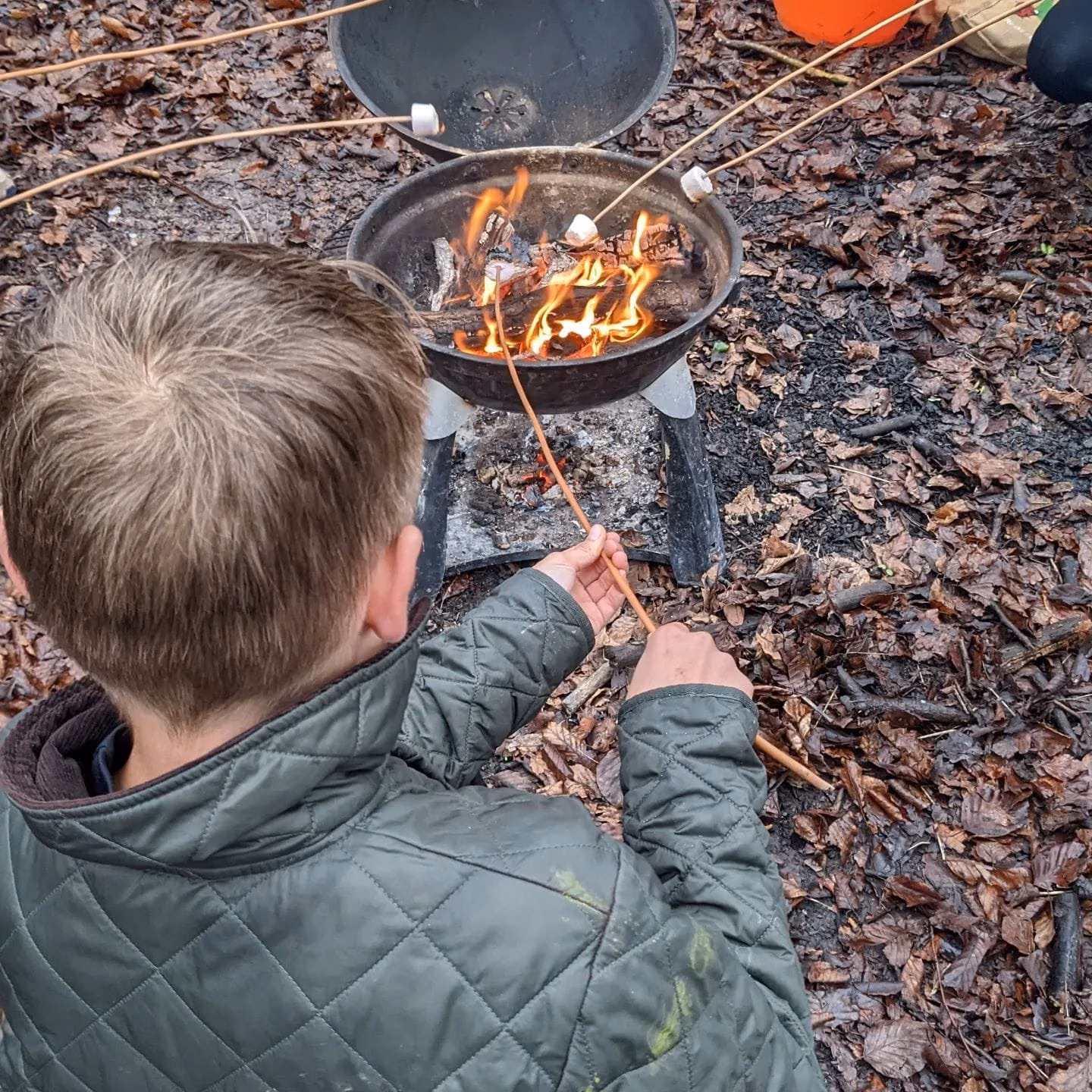
Explorers of the South Downs
An exciting initiative has been launched for schoolchildren to explore the nature, history and culture of the South Downs. Schools across West Sussex are being invited to take part in ‘Explorers of the South Downs’, which offers a range of fun activities for young people to connect with the natural world and learn about the…

Silviculture
Woodland is an integral part of our lives. It provides fuel, food for farm stock and materials from which we build shelters, fences and tools. This may have started as random harvesting of material but silviculture, the management of trees, soon developed into various forms of woodland management. In the UK, woodland has been defined…

Sourcing Wood for our Benches
Over the last year, our benches project was severely held up. Due to the Pandemic, there has been a huge rise in timber costs. Sourcing wood for our benches was a major challenge. Our supplier was not able to source locally grown oak at an affordable price. After many phone calls to various contacts, I…

A Walker’s Bench
Friends of the South Downs are thrilled to announce that our newest bench has been installed at Ditchling. Here is the story of the group who are sponsoring this one, a Walker’s Bench. We all worked for British Caledonian Airways which disappeared into the grasp of British Airways in 1988. We then went our separate…

Defending our Protected Landscapes
To our Members of Parliament: The Friends of the South Downs stand behind the Campaign for National Parks (CNP) and share their deep concern about the fate of our National Parks and Protected Landscapes in England. Today we share our concerns with you. It is our hope that we can work together to ensure we…
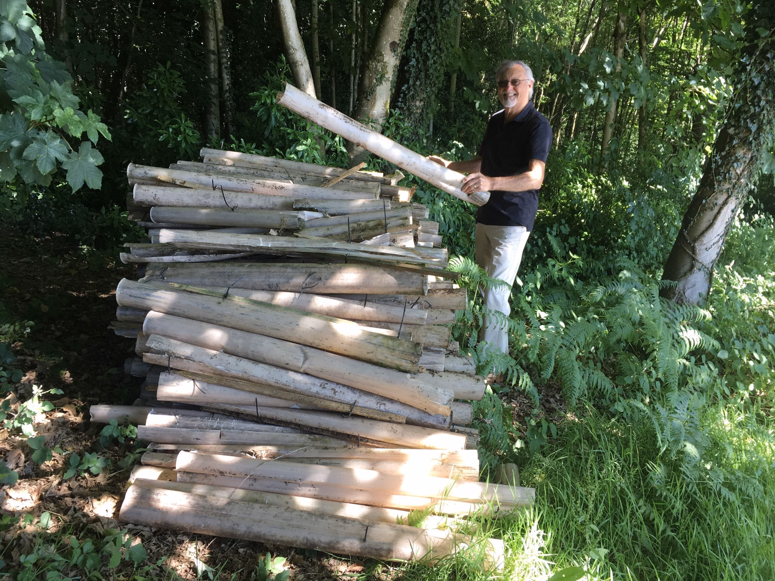
Collecting Redundant Tree Guards
We applaud our District Officer, James Brown, who was out collecting redundant tree guards around the King Edward VII Estate in Easebourne last month. In ten hours, he collected over 500 tree guards. They’ve been stacked and await removal for recycling. Now the work begins. We all know that tree planting forms a key part…

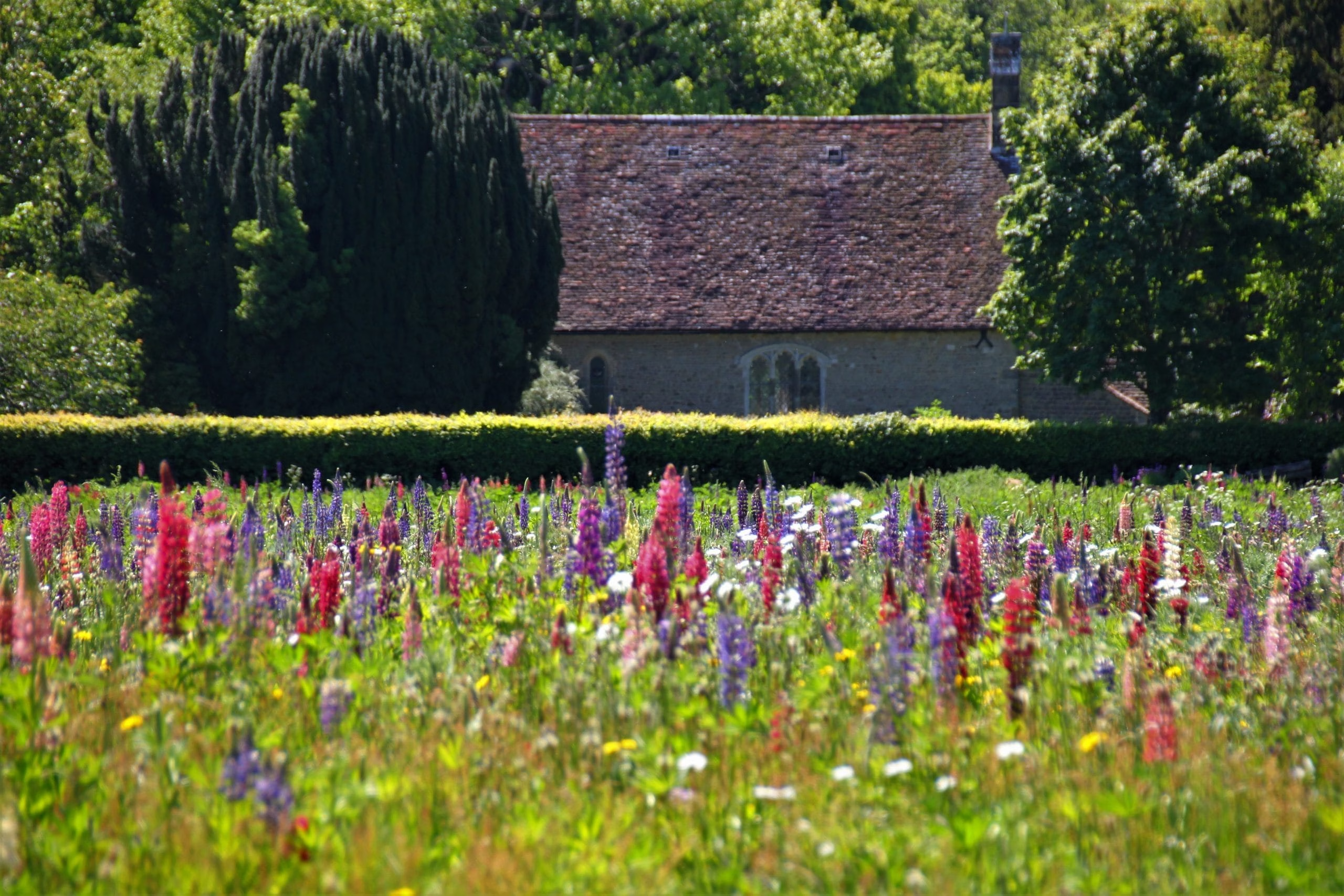
The Lupin Field
Against the distant background of the South Downs, a small church stands alone among fields and woodland. It is a modest building from the late 11th or early 12th century with extensive 19th-century alterations including the addition of a porch. This is St Peter’s Church in the West Sussex village of Terwick and here you’ll…

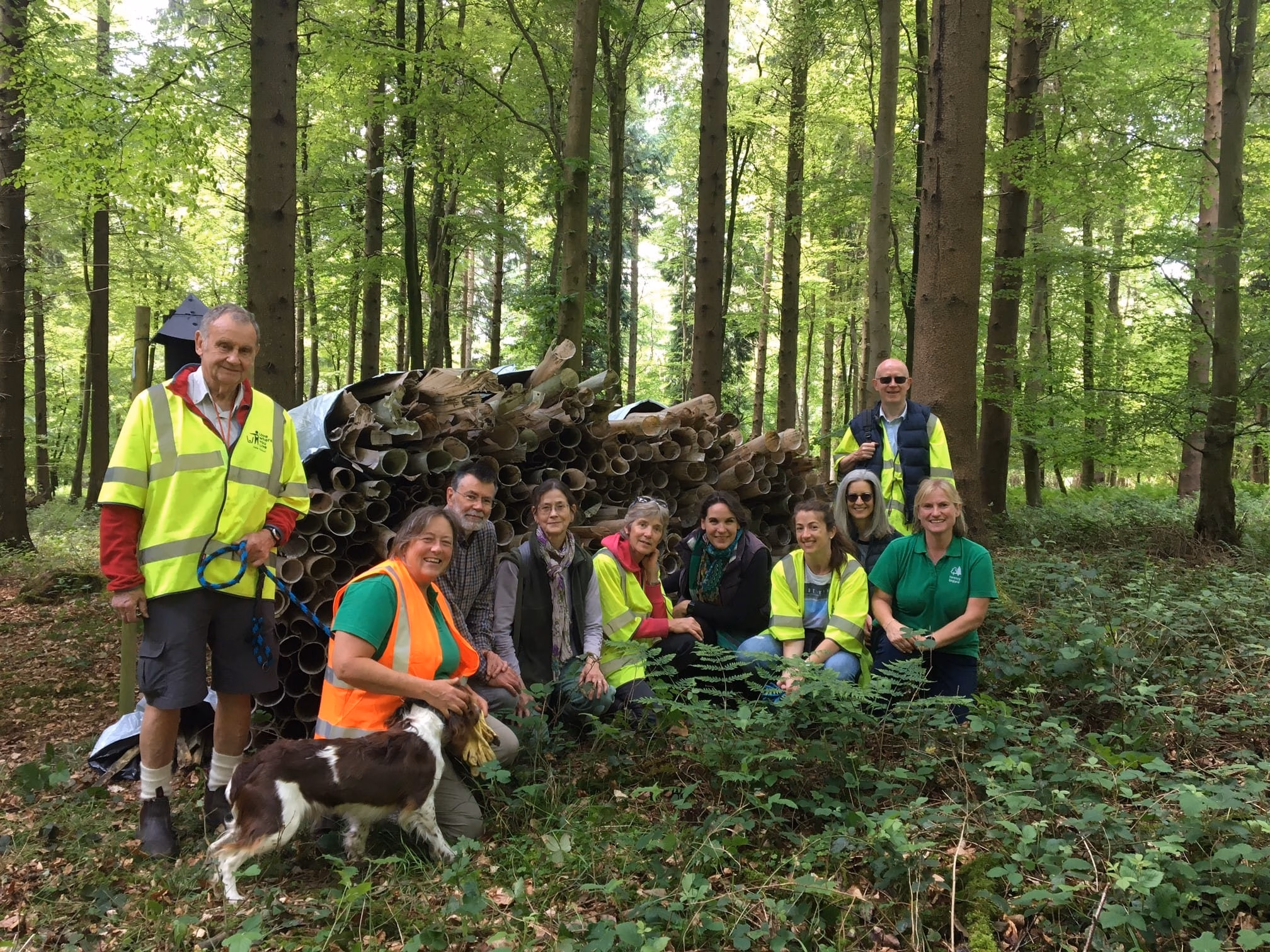
Tree Guard Cleanup Day
On Saturday 21 May 2022, our Trustee Chris Steibelt was out in Singleton Forest with volunteers and Forestry England representatives for our first tree guard cleanup day, collecting redundant tree guards to be sent off for recycling. Tree planting forms a key part of our goal to reach net zero carbon emissions in the next…

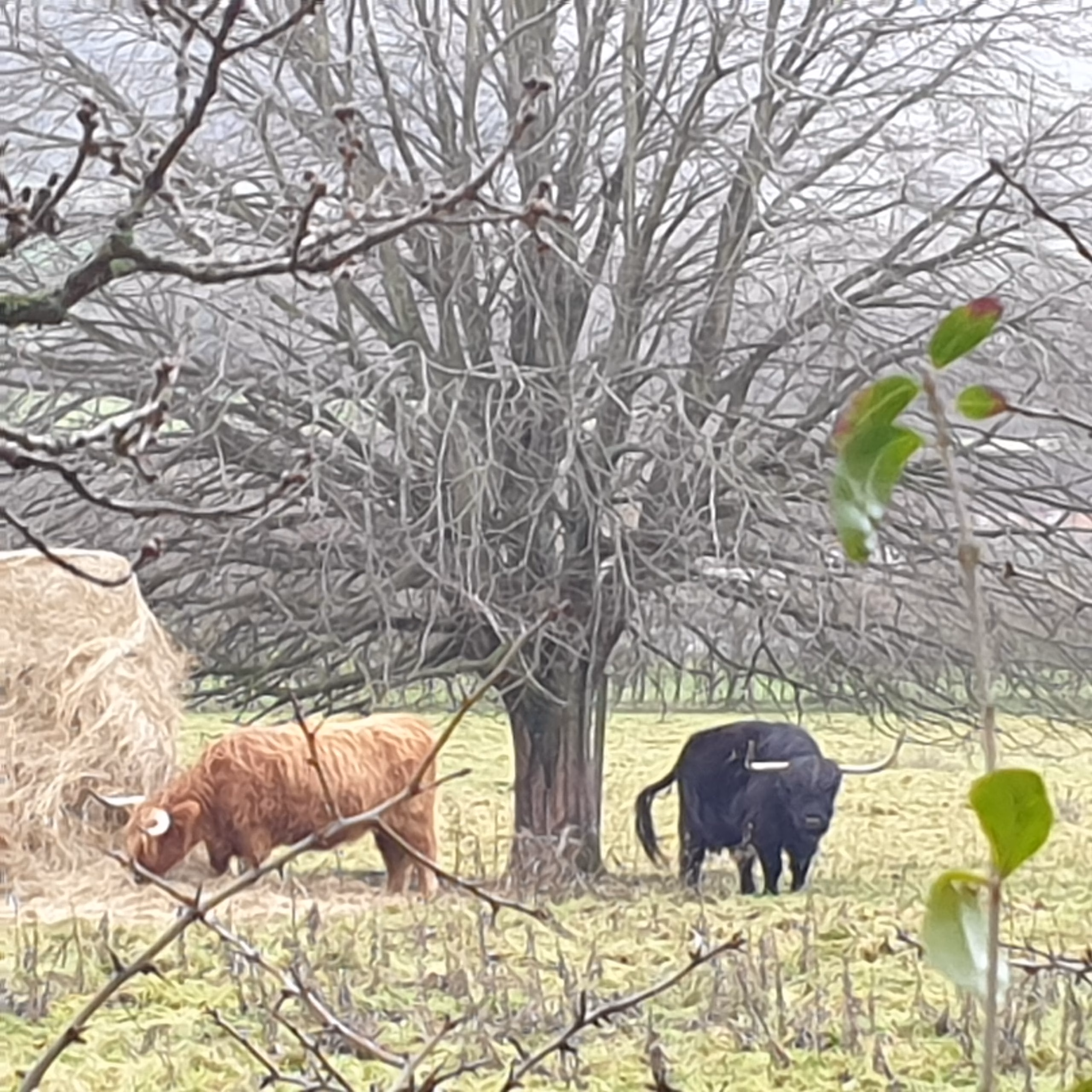
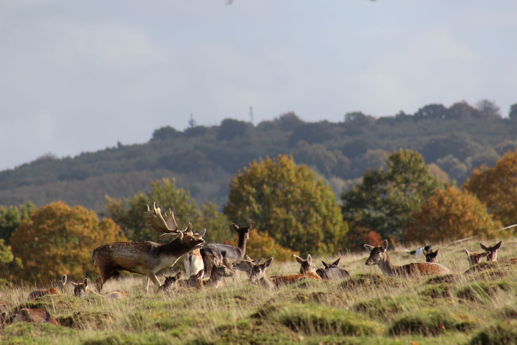
Clever Local Herds
Out on a walk with my dog Ruby recently around the Mardens, at the west end of the South Downs, we stumbled across a shoot. Whilst their target was pheasant, the sound of gunshot ringing around the densely wooded hillside clearly had an unnerving effect on the other inhabitants of this otherwise tranquil area. As…

Easebourne/Langham Circular Walk
This Easebourne/Langham circular walk is an easy walk starting either in Easebourne or at Langham Brewery and takes you through open fields with views of the South Downs and patches of woodland with a small amount of road walking on the end by the brewery. You can start the Easebourne/Langham circular walk by parking at…
News Updates
General news from the Friends of the South Downs