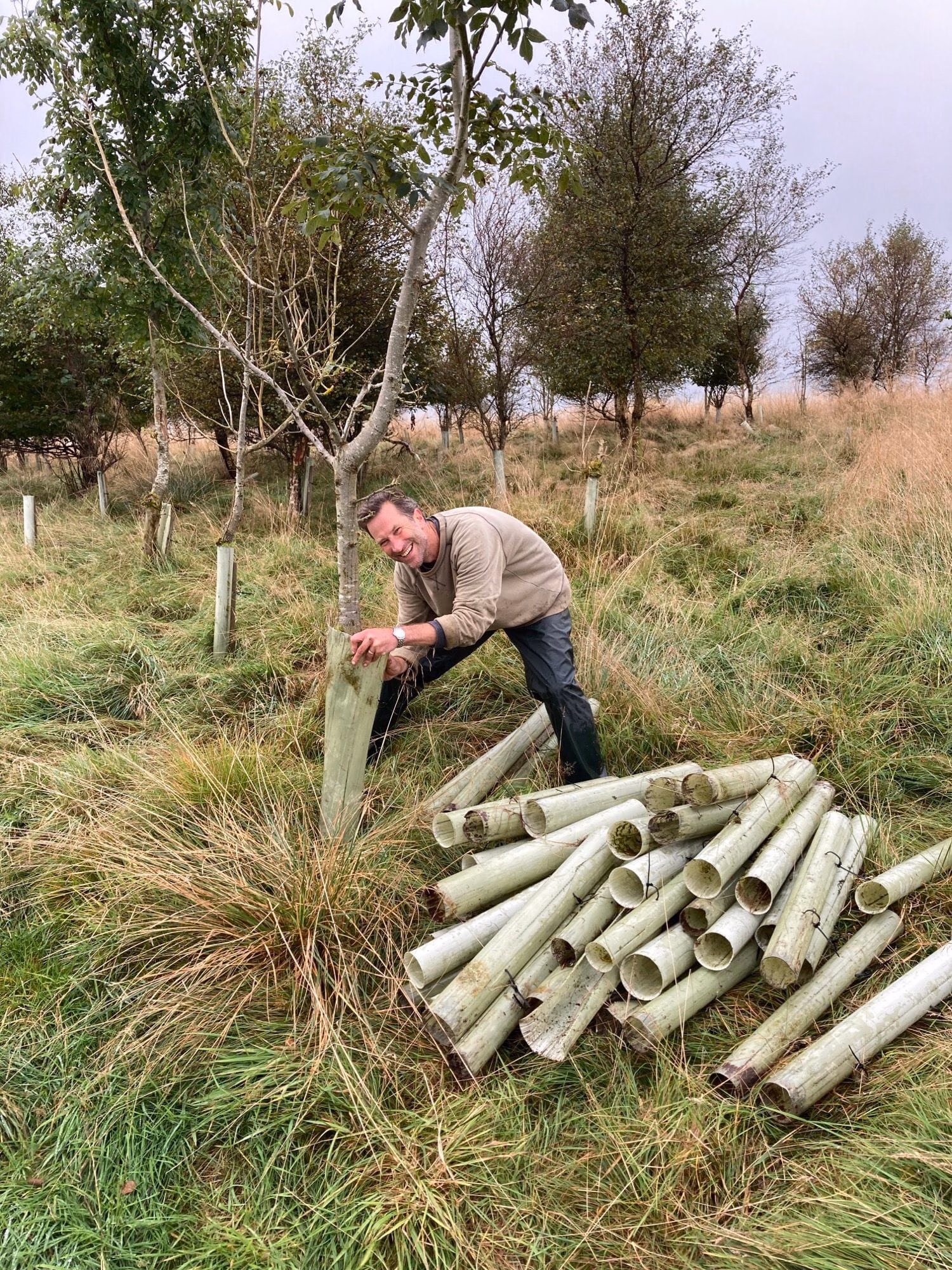
Ban Plastic Tree Guards
National Park campaigners call for a ban on plastic tree guards as Government considers banning other types of single-use plastic Campaign for National Parks, Friends of the Dales, Friends of the South Downs and nine other National Park Societies have joined forces to call for a ban on plastic tree guards. Chris Steibelt, Trustee of Friends of the South Downs, is…

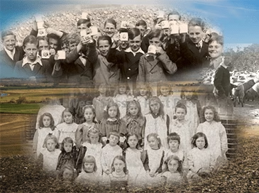
New Heritage Website
Within weeks of our ‘South Downs Schools Living History Project’ starting in January 2020, we were hit by Covid and the first lockdown. Given that the focus of this project was for primary age children to interview the older people in their communities, this could have been a fatal blow, but through ingenuity and modern…