The Missing Link – creating an accessible road network in the South Downs National Park
We are pleased to report that the initial survey by SCATE and the Friends of the South Downs (South Downs Society) which kicked off at the end of August last year is now nearing completion. We have had a very good response. A map has been made up and a schedule of comments/suggestions has been tabulated see links below. A workshop is being held in Lewes East Sussex on 25th January 10:30 to 12:30 to review the many inputs from that area. Click here to register for the workshop. Likewise a workshop is planned for Hampshire. Once these are complete we will present our initial findings to the National Park.
Despite completing this first phase more surveys and documentation is need on later responses we have had. Can you help? If so please contact us at enquiries@southdownssociety.org.uk

Current survey documents:
Click here for Missing Link Survey Sept to Dec 2019
Our thanks to Friends of the South Downs Society volunteer Mered Harries for his work in documenting the responses.
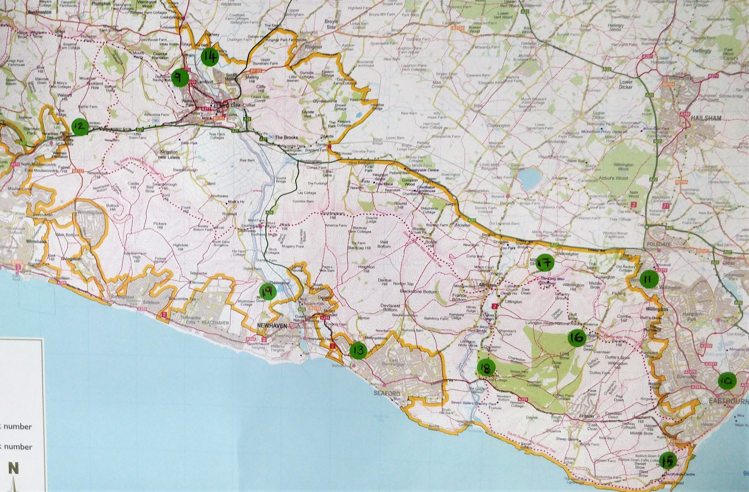
Maps (these are only photo extracts so quality may be limited :

for background notes read on………..
Background
This a summary of the original email send out to SCATE and the Friends of the South Downs’ contacts:
Back in August a meeting was held with with the South Downs National Park Authority about transport issues. In the discussions we agreed to draw up a list of suitable roads where improvements are needed to make cycling/walking/mobility safer. The objective being to connect up sections of roads to create a fully functional cycle network which will also provide safe routes for walkers and in some cases make provision for mobility users and horse-riders throughout the National Park. These are for both recreational and utility use and if improved would help the SDNPA encourage modal shift and reduce carbon emissions.
The idea is to collate this information and then present this to the Park Authority to create an official map (that would link with existing maps in the SDNPA’s Cycling and Walking Strategy) and to work with the SDNPA to achieve change where we can.
We asked people to let us know of ‘missing links’ that are deterring cyclists etc from using a section of road, or that may be very unpleasant or dangerous to use. We asked people to let us know about the location. Equally we asked if people would let us know about good cycle friendly road routes which could be promoted (signposted) to key destinations or transport hubs, such as railway stations. We wanted to know how these routes could be improved. We asked for suggestions of any off-road routes to be part of this network, such as Centurion’s Way, that are suitable for road bikes (or recommendation to upgrade an existing off road route to say a sealed surface, etc).
We asked for details of the name of the road and information of the section where something needs to be done and why it is important (forms part of an essential link or route). We asked for details of the main issues and what would make it feel safer and more pleasant to use the route: suggestions could include:
– better signing
– segregated cycle lanes
– off-road cycle track
– lower speed limit
– green lane implementation (changing the feel of the road to one where walking and cycling are to be expected)
– better road crossing (for walkers and horse-riders as well as cycling)